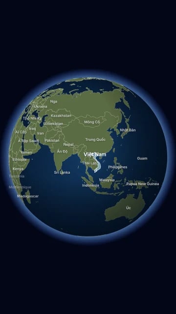

Find these elements in Library → Motion → Elements, section Maps. Click a tile to add it at the playhead, or drag it onto the timeline. Change its options in the Inspector. Both maps use NASA Blue Marble satellite imagery. Borders and names follow Viet Nam’s official view, including Hoàng Sa, Trường Sa and Biển Đông. Every place you name must be a known country, a Vietnamese province, or a lat,lon pair.

Satellite map
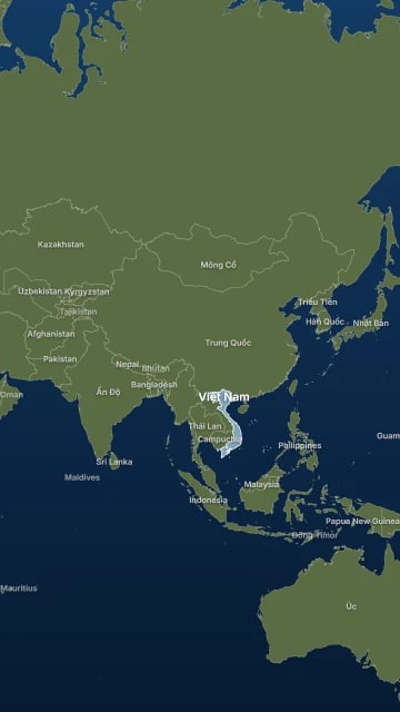
Satellite map element poster
A full-frame satellite map of any part of the world. It fills, highlights and labels countries and Vietnamese provinces, pins cities, draws routes, colours regions by value and flies between views at its cues. Ready-made tiles: Satellite map, Châu Á, Đông Nam Á and Việt Nam + Biển Đông. Key options:
  • Regions: up to 8 groups of places, filled or highlighted at their cues.
  • Pins: up to 8 city pins with a callout, each at its cue.
  • Credit: draws the source line (“Ảnh vệ tinh: NASA Blue Marble · Biên giới: Natural Earth”) at the bottom of the map.
When to use: news, history and travel explainers that need to show where something happens.

Satellite globe

Satellite globe element poster
A satellite globe with an atmosphere glow on a dark background. It turns and zooms toward places at its cues, with region fills, highlights and labels on the front side. Ready-made tiles: Satellite globe and Globe châu Á. Key options:
  • Fly: up to 12 moves to other views, each at its own cue.
  • Regions: up to 8 groups of places, filled or highlighted at their cues.
  • Credit: draws the source line at the bottom of the globe.
When to use: an opening shot that zooms from the whole world to a region. For a closer view, cut to a Satellite map with a transition.

Map imagery

The first time you use a map, CoClip downloads and prepares the satellite imagery it needs and stores it in the project folder. This needs an internet connection. Until the imagery is ready, the map shows a plain land and ocean fallback. Export waits for the imagery and stops if it cannot be prepared. In Library → Media → All, the Map imagery entry shows how many map images the project holds and their size. Use Retry if preparing failed, and Remove unused map imagery to free space. To export anyway, turn on Allow fallback export on the map; the video then uses the plain fallback. Credit the imagery in your video description. When you fill Vietnamese provinces, add “Tỉnh: GSO/OCHA HDX, CC BY-IGO” to the credit.